| S0 |
Drake Passage |
Entry into high latitudes |
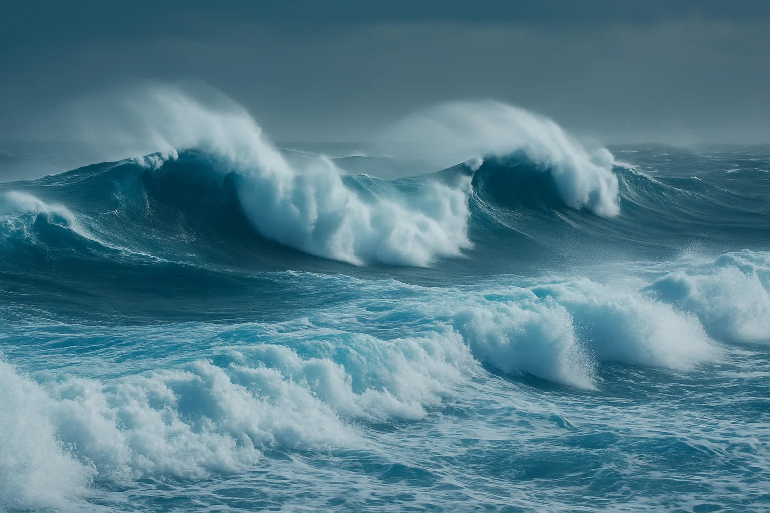
We drop below 60°S. The regime changes: 8 to 12-metre swells, sustained winds at 35–50 knots, permanently drifting icebergs. Fallback options close, the route becomes continuous. There is nowhere to return to. |
| S1 |
South Pacific |
First leg, heading west |
The longest stretch without a realistic stopover, passing the oceanic pole of inaccessibility. Depressions move fast and last long, crossed seas are sustained. We establish routines, read the boat, calibrate reduction thresholds. |
| S2 |
Australian sector and Davis Sea |
Sector-by-sector progress |
A profoundly isolated section. The Kerguelen Islands are a thousand miles away, a bleak anchorage with no real assistance. In the event of serious damage, the question is no longer "where to go", it is "how long can the boat hold". |
| S3 |
Deep South (ice permitting) |
Opportunistic descent |
If sea ice allows and the window is clear, descent further south, high-value scientific observations, contact with pack ice. Otherwise, hold latitude and the loop. This descent is not planned, it is seized or not. |
| S4 |
Indian sector, isolated zones |
No realistic fallback |
A profoundly isolated section. The Kerguelen Islands are a thousand miles away, a bleak anchorage with no real assistance. In the event of serious damage, the question is no longer "where to go", it is "how long can the boat hold". |
| S5 |
South Atlantic |
Final straight towards closure |
The sector closes back on the departure point. Winds remain severe but the logic of closure begins. South Georgia stays in reserve if fatigue or the boat demands it. |
| S6 |
Weddell Sea |
Ice and katabatic winds |
The Weddell is the sea where Shackleton lost the Endurance in 1915, crushed by the pack ice. Its cyclonic circulation retains ice, tabular icebergs drift long, pressure can drop 30 hPa in a few hours. We read satellite imagery every day, we do not force entry. |
| S7 |
Closure on the Drake |
Loop complete |
The departure point has returned under the bow. The loop is geographically closed. What matters at this stage: the state of the boat, the state of the crew, and the continuity of collected data. The terrain remains the only judge of the loop's validity. |